The Waterway Guide offices will be closed from Tuesday, December 24, through Wednesday, January 1, 2025. The offices reopen on Thursday, January 1, and we will respond to any inquiries as soon as possible upon our return.
Orders will continue to be processed by our fulfillment center during the office closure period.
Happy Holidays!

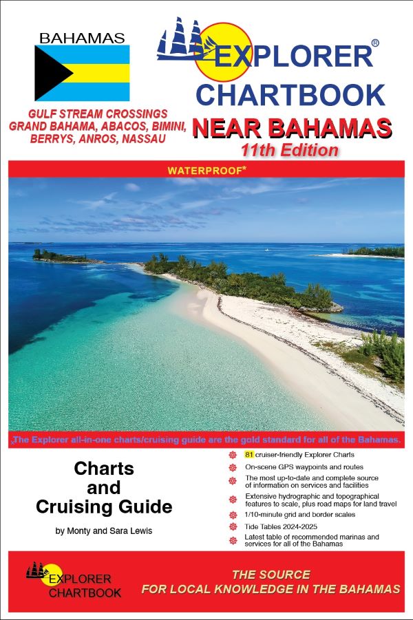
Explorer Chartbooks: Near Bahamas, 11th Edition
This new 11th edition of the Explorer Chartbook Near Bahamas brings you the most up-to-date charts and cruising guide information for the islands stretching from the Gulf Stream across to the Abacos and down to New Providence. Each settlement’s Need-to-Know Info has been revised and updated reflecting post-Dorian rebuilding efforts so that you can confidently explore this beloved cruising ground. (published October 2023)
FEATURES:
- Covers Gulf Stream Crossings, Grand Bahama, Abacos, Bimini, Berry Islands, Andros, New Providence/Nassau
- Tide Tables through 2024-2025
- Special Articles on Bahamas & Cruising-Related Topics
- 81 cruiser-friendly Explorer Charts
- Overview Planning Chart of the Bahamas
- (6) Small Scale charts
- (13) Medium Scale charts
- (39) Large Scale charts
- (23) Closeup charts
- Chart Detail:
- On-scene GPS waypoints and routes
- 1/10-minute grid and border scales
- Shaded depth contours
- New and corrected hydrographic data
- Updated variation on compass roses
- Extensive hydrographic and topographical features to scale, plus road maps for land travel
- Chart page overlaps
- Notes on "Joins page..."
- Printed on water- and tear-resistant material
- The most up-to-date and complete source of information on services and facilities (Need-to-Know Info)
- Latest table of recommended marinas and services for all of the Bahamas


