Onancock Creek, VA
Onancock Creek, VA

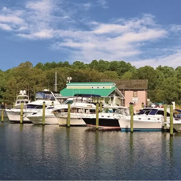
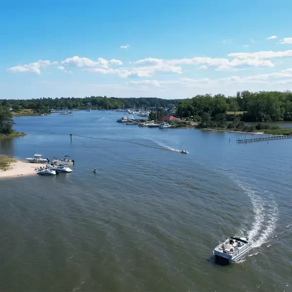
Onancock (pronounced “oh-NANN-kock”) Creek lies almost 20 nm southwest of the mouth of the Pocomoke River and about 5 nm southeast of Watts Island. One of the most beautiful tributaries on Virginia’s Eastern Shore, it is deep, well marked and winds 5 miles from flashing green “1” at the creek’s mouth east to the town of Onancock. The town center is a short walk up the hill through a residential area. Little in the way of provisioning is readily available close to the waterfront, but Onancock offers several good restaurants and a few shops in a scenic setting.
Marinas, Dockage, Service & Navigation
Plan your boating trip on the Onancock Creek, VA. Browse marinas, dockage, service yards, and navigation alerts.
View More Information to Plan Your Boating Trip In The Explorer.


Boating Destinations near the Onancock Creek, VA


 Purchase a Guide
The Waterway Guide Team has gained extensive boating knowledge over the years, and now we are sharing all of the tips, skills and tools we’ve picked up along the way!

The Waterway Guide App makes it easy to leave reviews, use our Explorer, and view Waterway Guide materials, all on the go!


*In-App Purchases Available


